

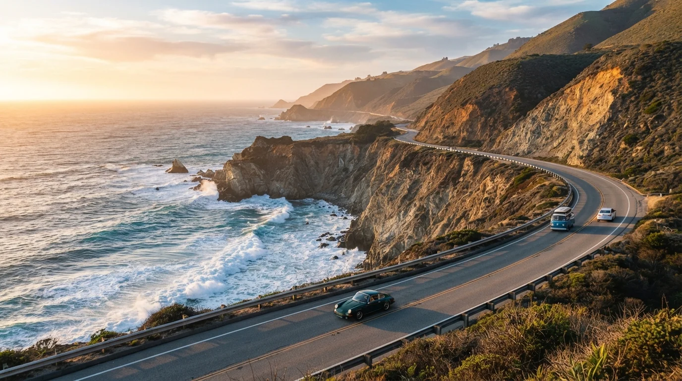
Understanding the Route Before You Drive It
The Pacific Coast Highway — officially State Route 1 in California — is not a single uninterrupted road but rather a series of connecting coastal highways that together trace the California coastline from the Mexican border northward. Most drivers treat the roughly 600-mile stretch between San Diego and Leggett (where SR-1 merges into US-101) as the complete route, though many focus on the Los Angeles-to-San Francisco corridor as the heart of the experience.
The road divides naturally into three sections with very different personalities. The Southern stretch (San Diego to Malibu) moves through urban beach communities, surf culture, and the relaxed energy of Southern California. The Central stretch (Malibu to Carmel) is where the highway gains its legendary reputation — hugging the Santa Monica Mountains before opening into the wild, sparsely populated Big Sur coast. The Northern stretch (Carmel to Leggett) brings redwoods, agricultural valleys, and the foggy, dramatic Sonoma and Mendocino coasts.
If you're deciding between anchoring at the endpoints, our overview of San Francisco vs. Los Angeles can help you think through which city suits your trip better as a starting or finishing point.
Northbound Is Generally the Better Direction
Driving from south to north keeps your vehicle on the ocean side of the road through most of the Central Coast, making it easier to pull into turnouts safely and enjoy unobstructed views. It also means you build up to the most dramatic scenery — Big Sur — rather than hitting it first and spending the rest of the drive in anticlimactic comparison.
What to Expect at Key Stops Along the Way
Rather than a checklist of viewpoints, think in terms of zones where you'll want to slow down and allocate extra time.
- Malibu and the Santa Monica Mountains: The transition from urban LA to open coast happens quickly here. Point Dume State Beach offers good access and genuine scenery without heavy infrastructure. The road narrows and the pace shifts noticeably past Malibu.
- San Luis Obispo County coast (Cambria, Cayucos, Morro Bay): Often underestimated, this stretch delivers coastal scenery without the crowds of Big Sur. Morro Rock is a distinctive landmark and the towns are practical places to refuel and find lodging.
- Big Sur: The most celebrated segment — and the most logistically demanding. Expect single-lane bridges, limited pull-offs, and no gas stations for long stretches. Bixby Creek Bridge and McWay Falls (in Julia Pfeiffer Burns State Park) are the most visited points. Cell service is minimal. Check Caltrans road condition reports before entering, as landslide closures have historically cut off sections for weeks or months.
- Carmel-by-the-Sea and Monterey: Natural transition points where services, restaurants, and lodging are widely available. The 17-Mile Drive through Pebble Beach is a toll-access private road — worth factoring into your budget if scenic golf coast views interest you.
- Half Moon Bay and the San Mateo coast: Frequently bypassed by drivers eager to reach San Francisco, this stretch has strong surf, quiet beach access, and a noticeably slower atmosphere.
Big Sur Road Closures Are a Real Possibility
Sections of SR-1 through Big Sur have been closed for months at a time due to landslides and storm damage — most notably in 2017 when Pfeiffer Canyon Bridge collapsed and a slide at Mud Creek added nearly a million cubic yards of debris to the coastline. Always verify current conditions through Caltrans before committing to this segment, and have a contingency plan using US-101 inland.
Practical Planning: What the Route Actually Demands
The PCH rewards preparation more than spontaneity. A few realities worth knowing before you go:
Timing and direction: Northbound travel puts your vehicle closest to the ocean edge on most segments, which makes pullouts easier and the views more immediate. Spring and fall offer the most stable weather, though coastal fog is common year-round, particularly in the mornings. Summer brings the most visitors and the highest lodging demand.
Fuel and services: Fill up whenever you're near a town of any size. Between Ragged Point and Carmel, there are no gas stations — a stretch of approximately 90 miles. The same logic applies to cash, medications, and any supplies you depend on daily.
Lodging: Big Sur's small number of lodging options book out weeks or months in advance, especially on weekends. If you're committed to staying in the area, reserve early. Otherwise, base yourself in Cambria to the south or Carmel to the north and day-trip the segment.
Road conditions: SR-1 has a documented history of storm damage and slide closures, particularly through Big Sur. Always verify current conditions through Caltrans (the California Department of Transportation) before your trip, and have a US-101 inland bypass route in mind as a contingency.
For a useful contrast in what a very different American coastal drive looks like, the Gulf Coast offers a slower, culturally layered alternative for readers who want to consider both coasts.
The content on this site is for informational purposes only and is not a substitute for professional advice. Always consult a qualified professional for guidance specific to your situation.